
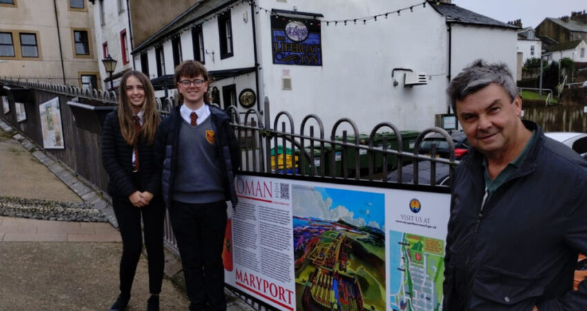
The town of Maryport is widely regarded as a key location of the Roman Empire in Britain. The Town Council has recognised this with the production of a new information board displayed on Shipping Brow.
Hadrian’s Wall formed the north-west frontier of the Roman Empire for most of the period 122-410 AD, making it part of the empire for almost 300 years. The section of Hadrian’s Wall between Bowness-on-Solway & Newcastle is the most well-known, but the frontier did not end there. In the second century AD, on the orders of the Emperor Hadrian, the Roman army built a large fort at the top of the cliffs on the north eastern side of Maryport, replacing an earlier turf & timber ‘conquest’ fort built on the site, & taking advantage of the strategic position overlooking the Irish Sea & the Solway Firth. A large & prosperous civilisation grew to the north & east of the Alauna fort, which was occupied for around 280 years.
Illustrated by local artist Alan Roper on the board is an impression of how the fort, known as Alauna, along with the settlement to the north, may have looked, viewed from the south. The Maryport fort covered some 6.5 acres & was capable of housing some 1,000 soldiers. It became the command headquarters & supply base for a chain of fortlets & watch towers that extended the Roman frontier along the Solway coast from the western end of Hadrian’s Wall. Sea transport was an important means of bringing bulk supplies to the Roman troops, & ships would have transported goods to Maryport, it is believed, to a point to the north of Sea Brows, which would then have been taken by road to Carlisle & beyond.